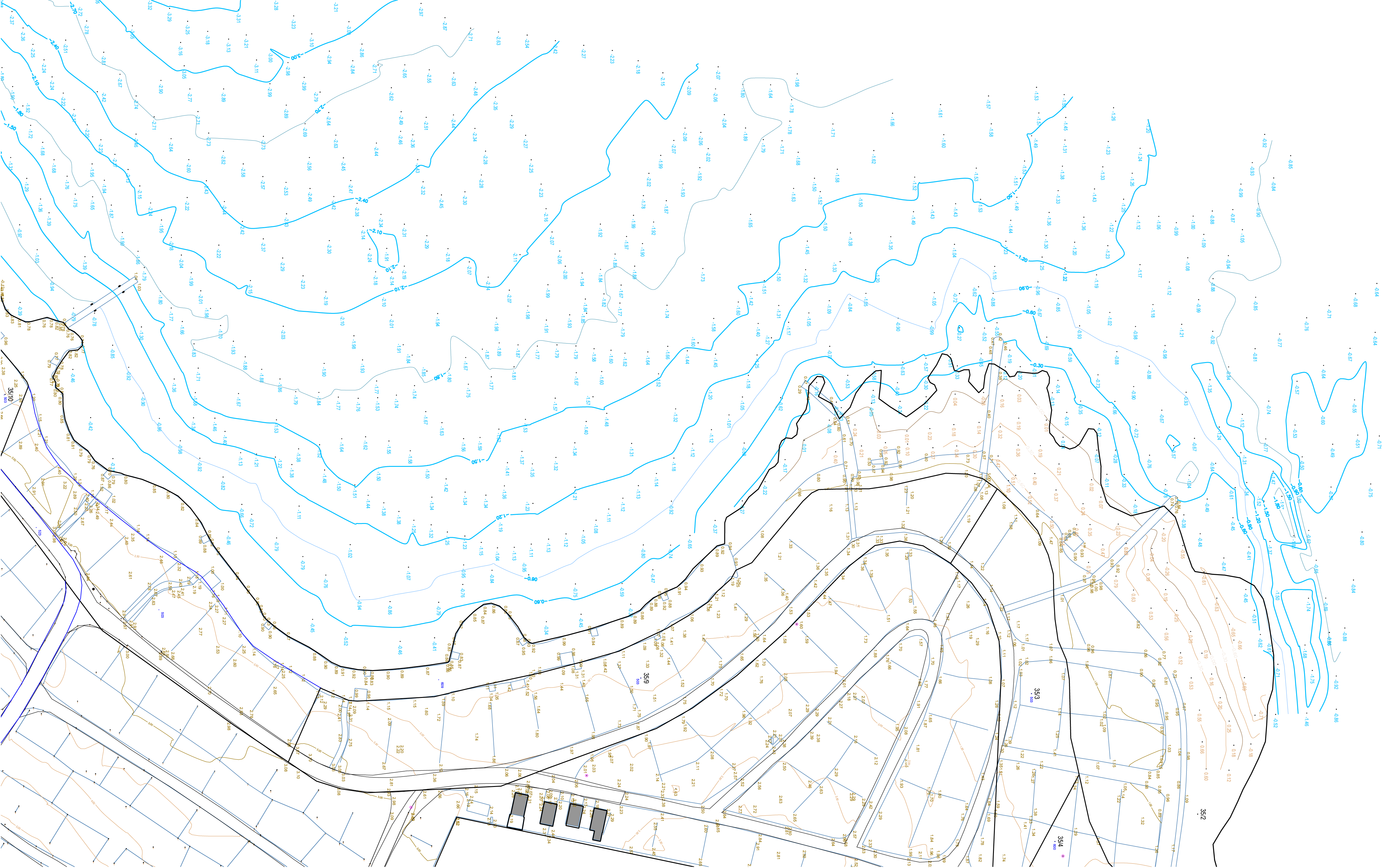
Bathymetry
We are the first Geodetic Office in Istria to begin bathymetric measurements for precise underwater depth measurements of the sea, water, and waterways. This technique allows the creation of 3D models of the seabed, which is crucial for planning and executing projects such as the construction of beaches, ports, underwater pipelines, and structures. (The network of points obtained from individual depth measurements enables detailed mapping of the seabed, which helps in understanding and building coastal infrastructure.)

The bathymetry process involves data collection using specialized instruments, such as echo sounders and laser scanners, ensuring high measurement precision. The data obtained provides accurate information about depths, slopes, and specific features of the underwater terrain, contributing to better planning of construction and infrastructure projects in aquatic environments. Furthermore, the results of bathymetric measurements assist in environmental analysis and protection, as well as improving navigation safety. This service is therefore indispensable for all projects that require a detailed insight into underwater conditions.
