Geodetic Foundations for Design
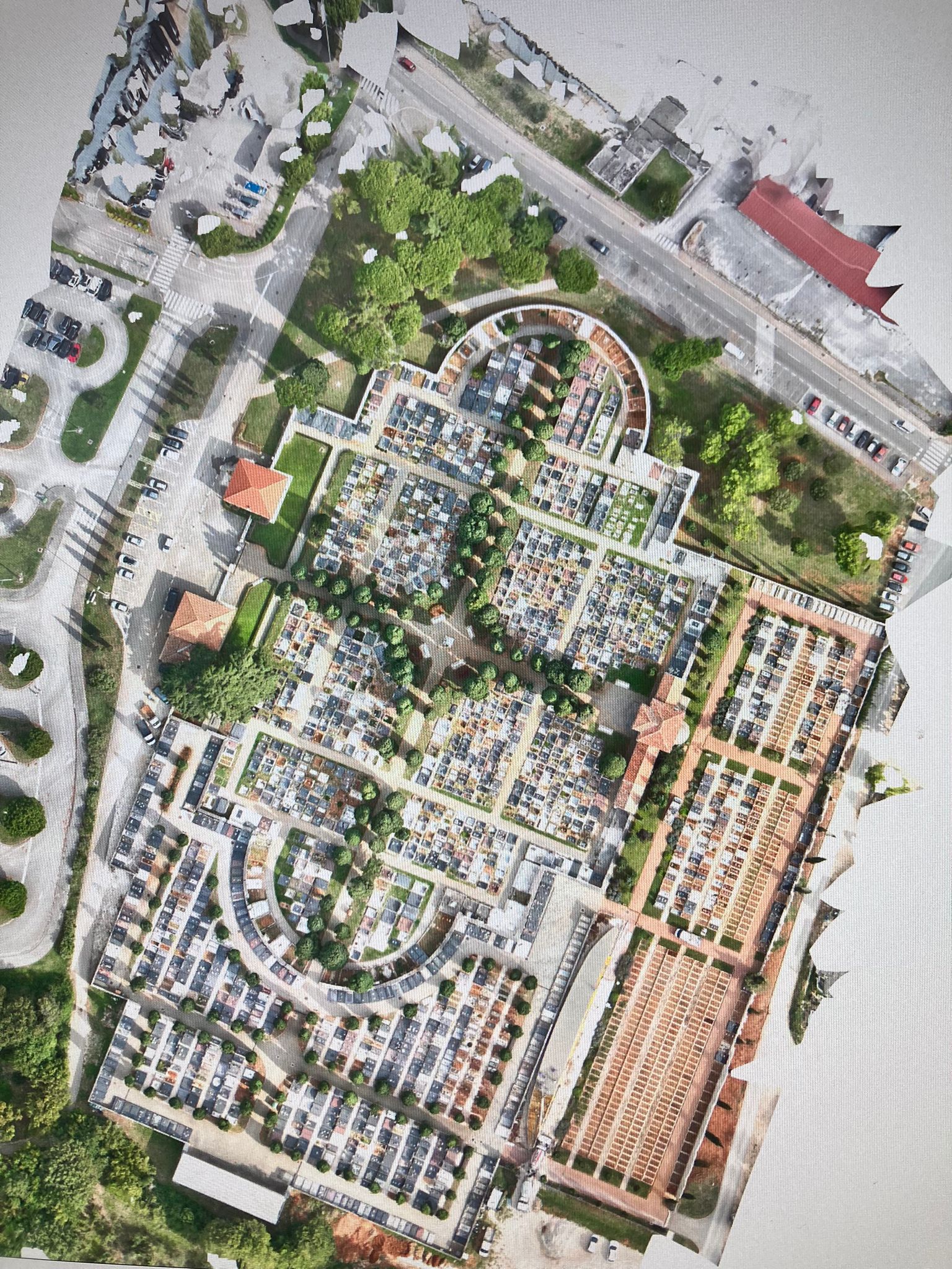
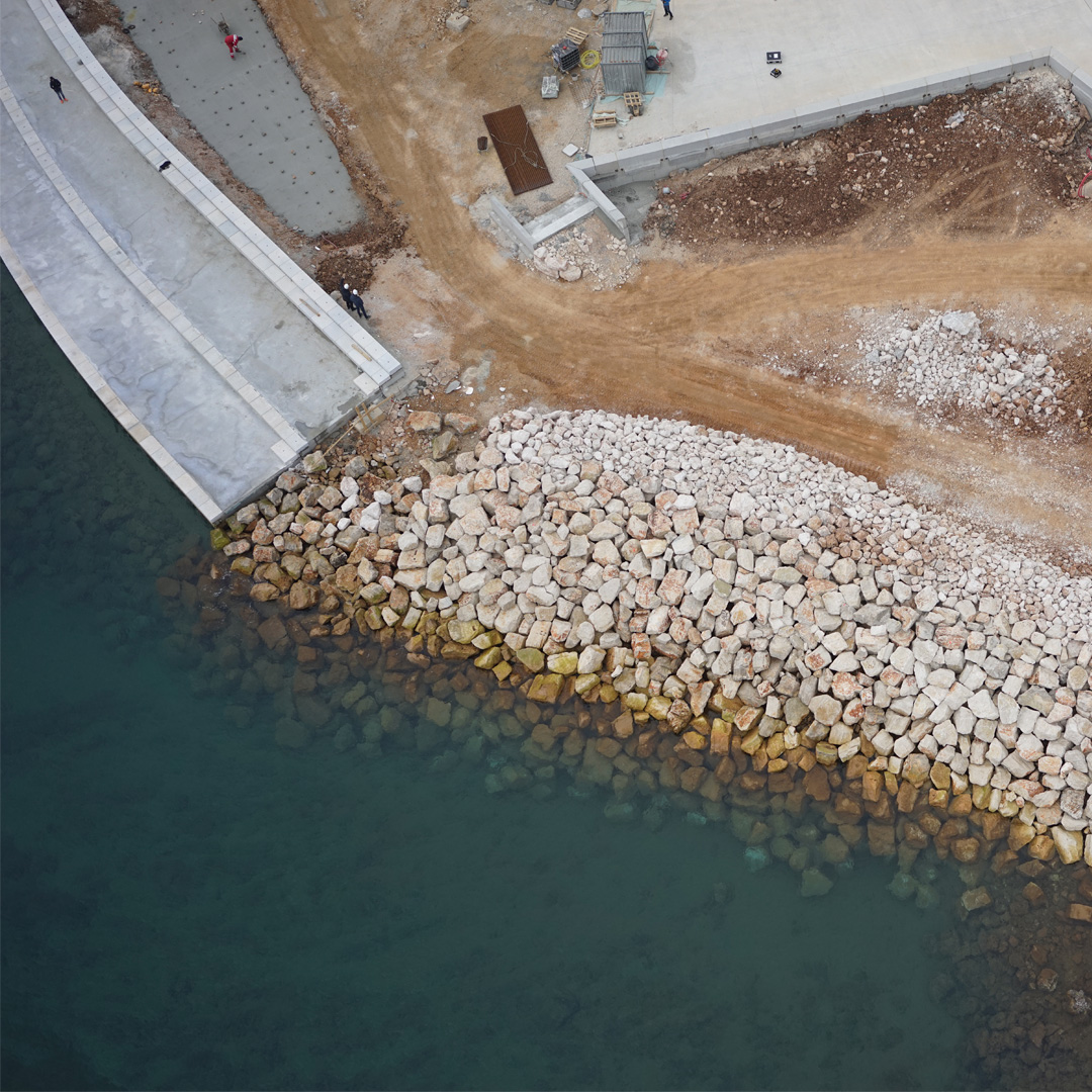
The construction process of every building begins with an accurate geodetic measurement of the construction plot, creating a geodetic base with the positional and elevation representation of the terrain. This base serves as the foundation for all subsequent design work, ensuring that all key terrain parameters are precisely recorded and analyzed in accordance with applicable standards.

After completing the geodetic survey and preparing the documentation, we forward the finished base to your architect. Based on this data, a conceptual project is created that fully reflects your wishes and needs, ensuring that the project is feasible and harmonized with the characteristics of the terrain.

