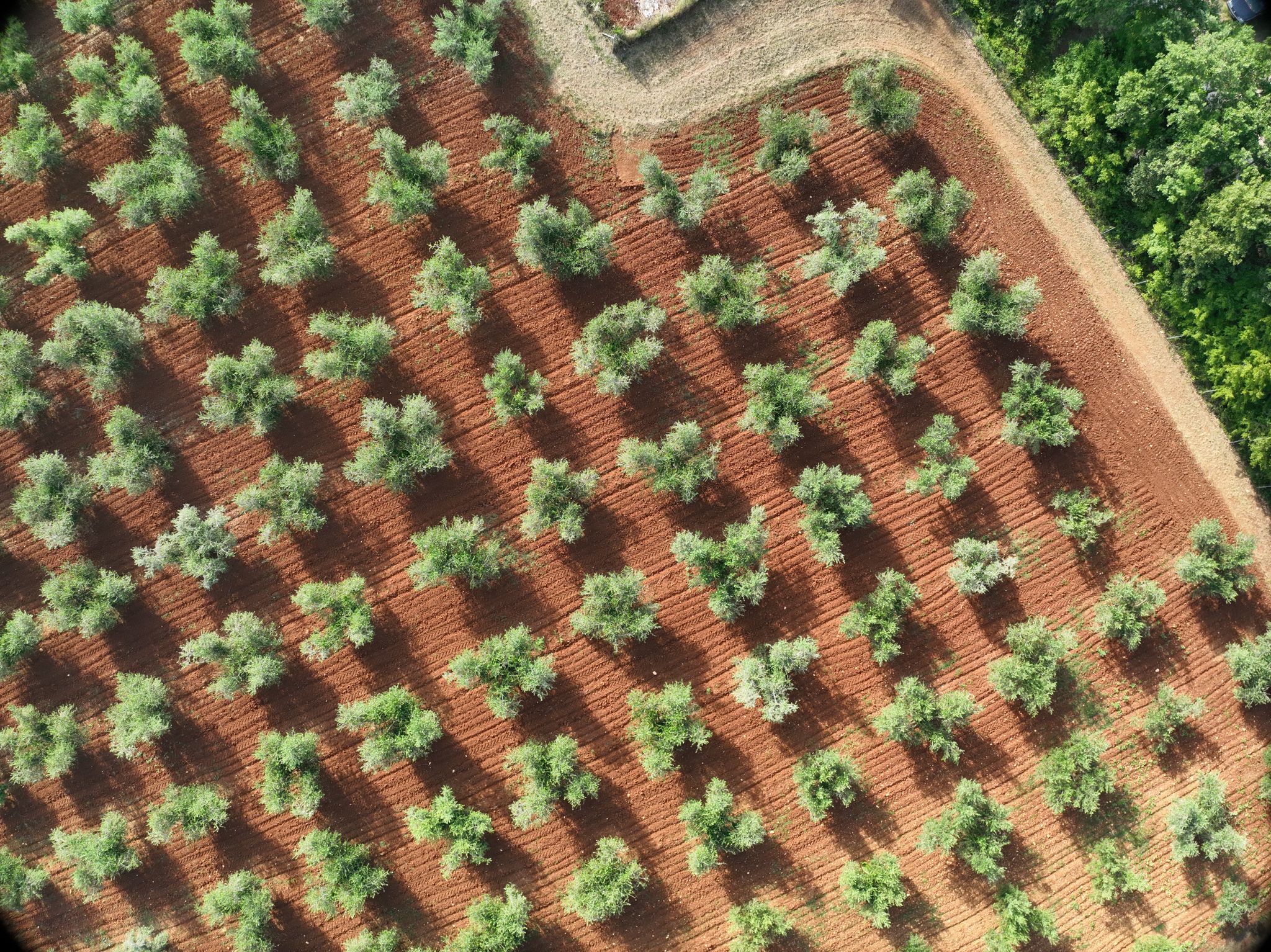
Yard formation
Yard formation is a process that organizes and defines the layout of a parcel in accordance with current spatial planning and construction regulations. This process involves creating a sketch with a proposed parceling plan, which is an integral part of the request submitted to the relevant office for spatial planning and construction – commonly referred to as Urban Planning.

Steps in implementation:
1
Field Survey and Data Collection
A geodetic expert conducts a field survey and collects official data from the cadastral office (PUK) and land registry.
2
Creation of a Sketch with a Parceling Proposal
Based on the collected data, a detailed sketch is created, defining boundaries, access points, and other yard layout elements while considering the owner’s preferences and urban planning requirements.
3
Submission of the Request and Obtaining Approval
The prepared sketch is submitted to the relevant office, and after receiving approval, compliance with current regulations is confirmed.
4
Final Parceling of the Land
Following the approved study, the final parceling of the land is carried out without altering ownership status, with additional legal documents submitted if necessary.
This comprehensive process ensures that yard formation fully complies with legal regulations while also enabling clear organization and visualization of your property’s future layout. In this way, we contribute to better parcel clarity and space optimization, a key value in modern urban planning.
